One product, unlimited solutions
Introducing our latest suite of products tailored to streamline your business operations. Whether it's managing finances, optimizing workflows, or enhancing communication, our products are here to empower your team and drive success.

Keep your global projects monitored
Discover the future of business monitoring with our cutting-edge technology harnessing satellite image processing. Here are three key points highlighting our innovative approach.
- Real-Time Insights
- Comprehensive Coverage
- Strategic Advantage

Why buy it?
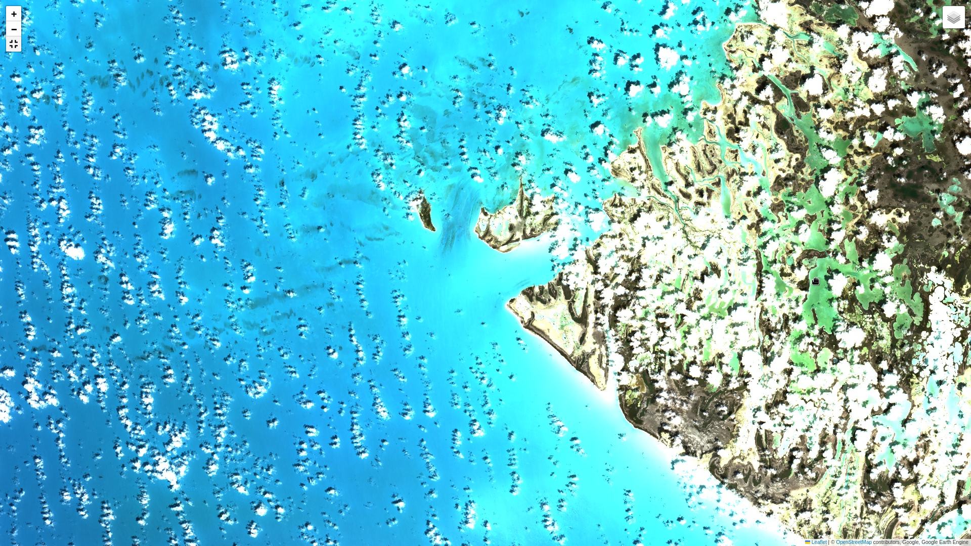
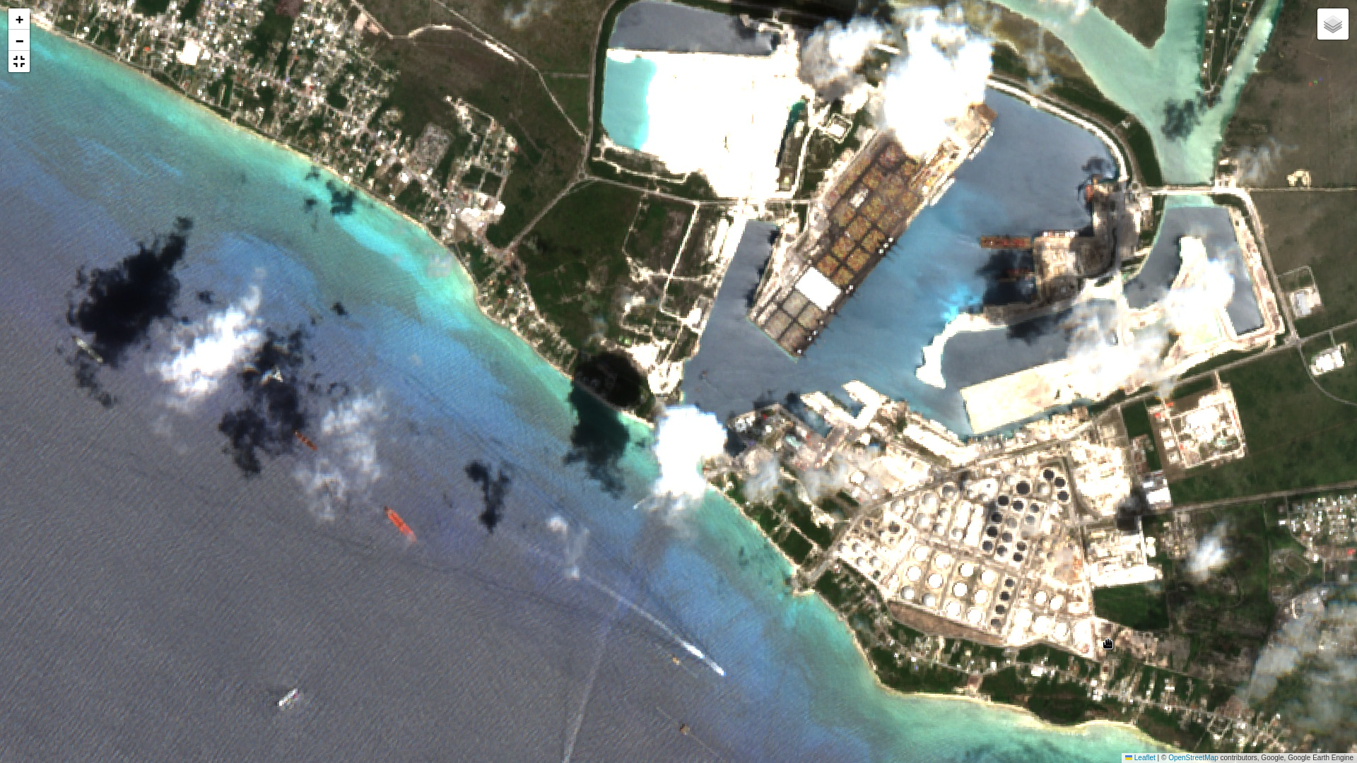
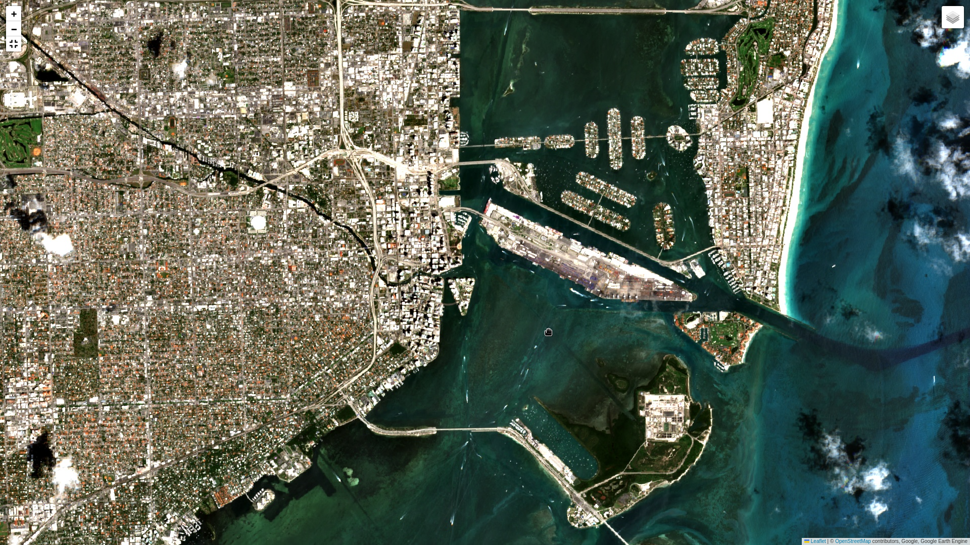
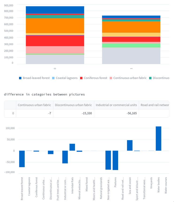
Clear progress information: Semantic segmentation of satellite images involves the classification of each pixel in an image into distinct classes, such as buildings, roads, farmland, and solar stations. By comparing two satellite images using semantic segmentation, one can assess progress in various aspects of infrastructure development and land use over time. For instance, changes in the distribution and density of buildings can indicate urban expansion or redevelopment.
- Advanced Analysis and Forecasting
- Granular Insights
- Actionable Intelligence

Trust everyone?
The only source of truth: The presence of new roads or changes in their layout can suggest transportation infrastructure development. Shifts in farmland patterns may indicate changes in agricultural practices or land management strategies. Additionally, the emergence of new solar stations or changes in their configuration can reflect advancements in renewable energy initiatives. Overall, semantic segmentation enables the precise monitoring and evaluation of changes in different features on the Earth's surface, facilitating informed decision-making in urban planning, agriculture, and renewable energy sectors.
- Comprehensive model
- High resolution
- Regular updates